Sentinel Hub
QuartzMap supports dates, date ranges, and date comparison for Sentinel Hub.
You can use either the Sentinel Hub QGIS plugin or standard WMS.
Publish your map as normal:
In QGIS, open the Project you wish to publish and start qgis2web
FTP the map using FTP or use the “Upload” function to upload.
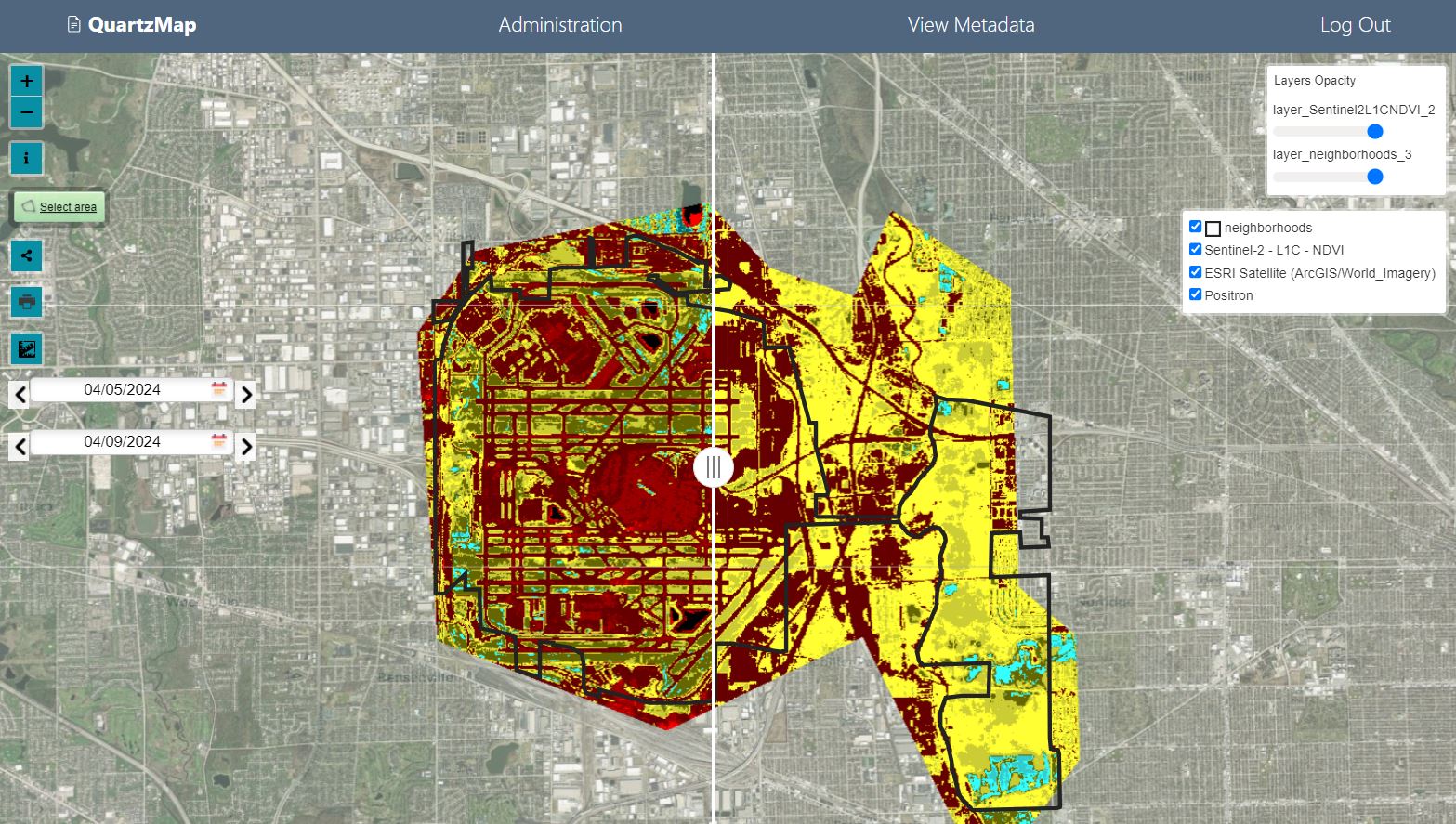
QuartzMap will detect the date and range and use the start/end as default.
Users can then select data comparisons to view.
You can also limit the range via the Map setting as shown below
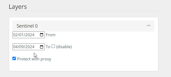
You can also enable proxy of your Sentinel Hub url to protect the url.